Water Resources Assessment using Remote-Sensing Data
Short or summer course
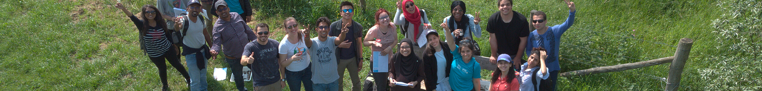
The course, by leveraging satellite-based remote sensing data and modern data science tools like Python, GIS, and machine learning, equips participants to turn data into actionable solutions to monitor surface water, groundwater and soil moisture, enabling cost-effective solutions for drought mitigation, flood forecasting, and transboundary water governance. The course bridges interdisciplinary gaps between hydrology, data science, and water management and prepares the participants to innovate in water security, climate adaptation, and sustainable development.
Ready to apply?
Visit course websiteLanguage
English
Title
-
Duration
12 days
ECTS credits
ECTS
The European Credit Transfer and Accumulation System (ECTS) is a student-centred system based on the student workload required to achieve the objectives of a programme of study. Its aim is to facilitate the recognition of study periods undertaken by mobile students through the transfer of credits. The ECTS is based on the principle that 60 credits are equivalent to the workload of full-time student during one academic year.
Accreditation
Information not available
Tuition fee 2025/2026
EU/EEA
The EU/EEA rate is the regular fee for students from within the EU/EEA.
€ 3,670
Non-EU/EEA
The non-EU/EEA rate is the rate for students from outside the EU/EEA.
€ 3,670
Admission
Application requirements
Information not availableCheck when you can start and what you have to pay!
| Tuition fees | |
|---|---|
| € 3,670 | |
| € 3,670 | |
InstitutionalThe institutional rate is for all students who have already obtained a bachelor’s or master’s degree and who want to start a second programme leading to a degree at the same level or at a lower level. |
Information not available |
| Start date | App. deadline EU/EEA | App. deadline Non-EU/EEA |
|---|---|---|
| 15 Jun '26 | 15 May '26 | 15 May '26 |
Scholarships
You can check if you're eligible for scholarships that apply to this course.
MENA Scholarship Programme (MSP)
The MENA Scholarship Programme (MSP) offers scholarships to professionals for short courses in the Netherlands.
Contact
IHE Delft Institute for Water Education
Main addressWestvest 7
2611 AX Delft
015 - 2151715
Ready to apply?
Visit course website